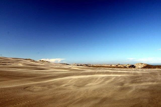
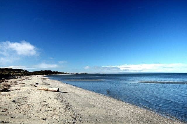
These days higher sea levels mean that such a land bridge no longer exists, and instead this narrow strip of immense sand dune is home to a wetland of massive importance to migrating birdlife.
I’m not a tremendous expert on bird life, despite growing up on an island with a fairly ornithological theme (well, it was called Bird Island), but even so, it was hard not to be impressed by the sheer variety of migratory birdlife on offer.
Although, I have to say, I was more impressed by the scenery than the feathered inhabitants. Most of the spit is not open to the public in order to preserve it as a sanctuary, but you are allowed to walk the first 2.5km of beach and catch a glimpse of the first sand dunes, which tower dark and massive over the surrounding area. A haze of sand is not unusual in this area, sand which blows to the end of this ever growing section of land.
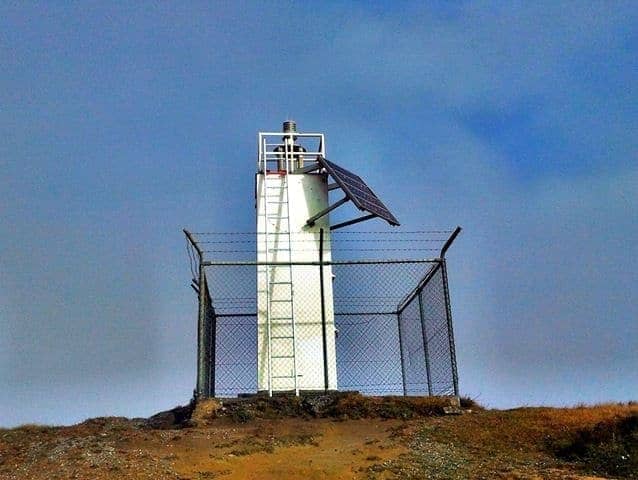
The Cape in this area is the other major draw card. Home to the most northerly point of New Zealand’s south island, it is naturally also home to a lighthouse. The lighthouse stands on Pillar Point, and was once a fabulous wooden construction – now sadly replaced by a less impressive, more functional unit. I am starting to wonder if there is a lighthouse appreciation club I can join, given the numbers of them that I appear to be seeing of late.
The actual most Northerly point of the South Island, Cape Farewell, was a windswept and rainy spot when we visited it. The seas battered the cliffs, the rain battered us, and mud filled puddles were the order of the day. It was a lonely spot offering awesome, if damp, views.
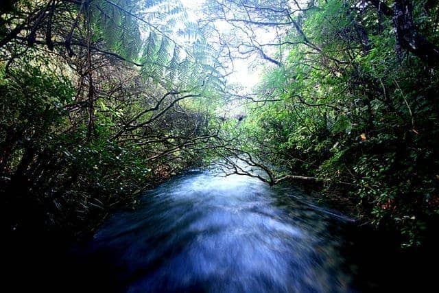
Finally, our last stop off in the area was at the Te Waikoropupu Springs – reputed to be the clearest freshwater springs in the world. Fresher water can apparently only be found under the Ross Ice Shelf in Antarctica.
This is however, probably a good thing, from a tourist point of view at least. The water rushes past ones feet at a phenomenal rate, desperately eager to get somewhere other than where it currently is. It is remarkably clear and I expect it probably tastes quite good too – unfortunately we weren’t able to sample it due to the risk of spreading a water borne fungus known locally as didymo. So we didn’t.
That pretty much concluded our adventures in the north west of the South island, having visited Abel Tasman, the Queen Charlotte Sound and of course, the remarkably pretty town of Nelson. Next, it’s across to the West coast (also known as the wet coast) for more rugged scenery, impressive arches, a road trip that the Lonely Planet rates as amongst the top ten in the world, and of course, more lighthouses.
In the meantime, don’t forget you can stay up to date with the latest happenings and more photos from my trip by liking the site’s Facebook Page. Enjoy.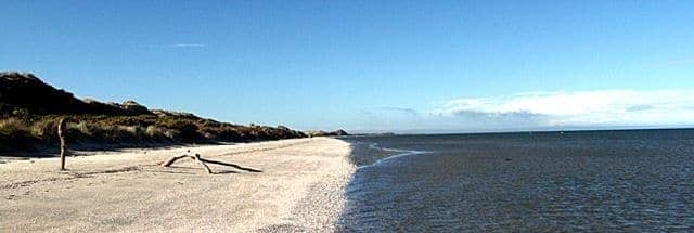
Laurence says
Vodka… Dangerous stuff 🙂
srbmckenzie says
Reminded me of one of my favoured Vodka’s…. 42 Below is sold on the purity of the water used and also some sort of latitude info.
http://en.wikipedia.org/wiki/Pacific_Dawn
Laurence says
Vodka… Dangerous stuff 🙂
Scott Mckenzie says
Reminded me of one of my favoured Vodka’s…. 42 Below is sold on the purity of the water used and also some sort of latitude info.
http://en.wikipedia.org/wiki/Pacific_Dawn