There are many magnificent highways to drive in the world, but I would argue that New Zealand’s oldest touring route, the Lost World highway, has one of the best names of the lot.
Just the idea of a highway passing through a lost world conjures up images of immense T-Rex ploughing through jungles, sauropods hanging out in swamps, and pterodactyls wheeling overhead.
No doubt by now dinosaur experts are despairing at my lack of dinosaur knowledge, or my reckless association with Michael Crichton books and lost valleys. Maybe I should have gone with some Indiana Jones imagery instead.
Perhaps I should start the whole post over again. Stretching for 155km from Taumarunui in the east, to Stratford in the west, the lost world highway is a testament to early pioneering spirit in New Zealand.
It offers a glimpse of fascinating history, as well as some geographical delights, including a hobbit hole containing giant fossilised crabs, one of the north island’s highest waterfalls, and more crinkly landscape than you can shake a stick at.
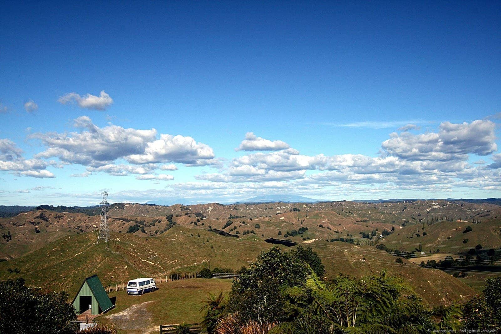
Because if one word were to summarise this part of the world, it would be crinkly. I have mentioned before, how I stood part way up Mount Ruapehu, and gazed westwards to Mount Taranaki, as to how crinkly this part of the world appeared to be.
I can certainly confirm this to be the case, now that I have gotten up close and personal with this gnarled landscape, featuring gorges, crevices and an endless supply of absurdly steep hills over which suicidal sheep attempt to graze.
Starting point for Lost World Highway
The starting point of Taumarunui is the launching point for the local Whanganui national park, where there is all manner of outdoor pursuits to delight, from multi day tramps, to rafting expeditions down the Whanganui river. These did not feature in our itinerary.
Instead, we dove straight into the drive, quickly finding ourselves in a maze of green sharp hills.
This highway is fairly remote – a sign at the beginning warns you that you will not find petrol for another 155km. Not quite remote on the Australian scale, but worth a top up before you head in.
Tangarakau Gorge
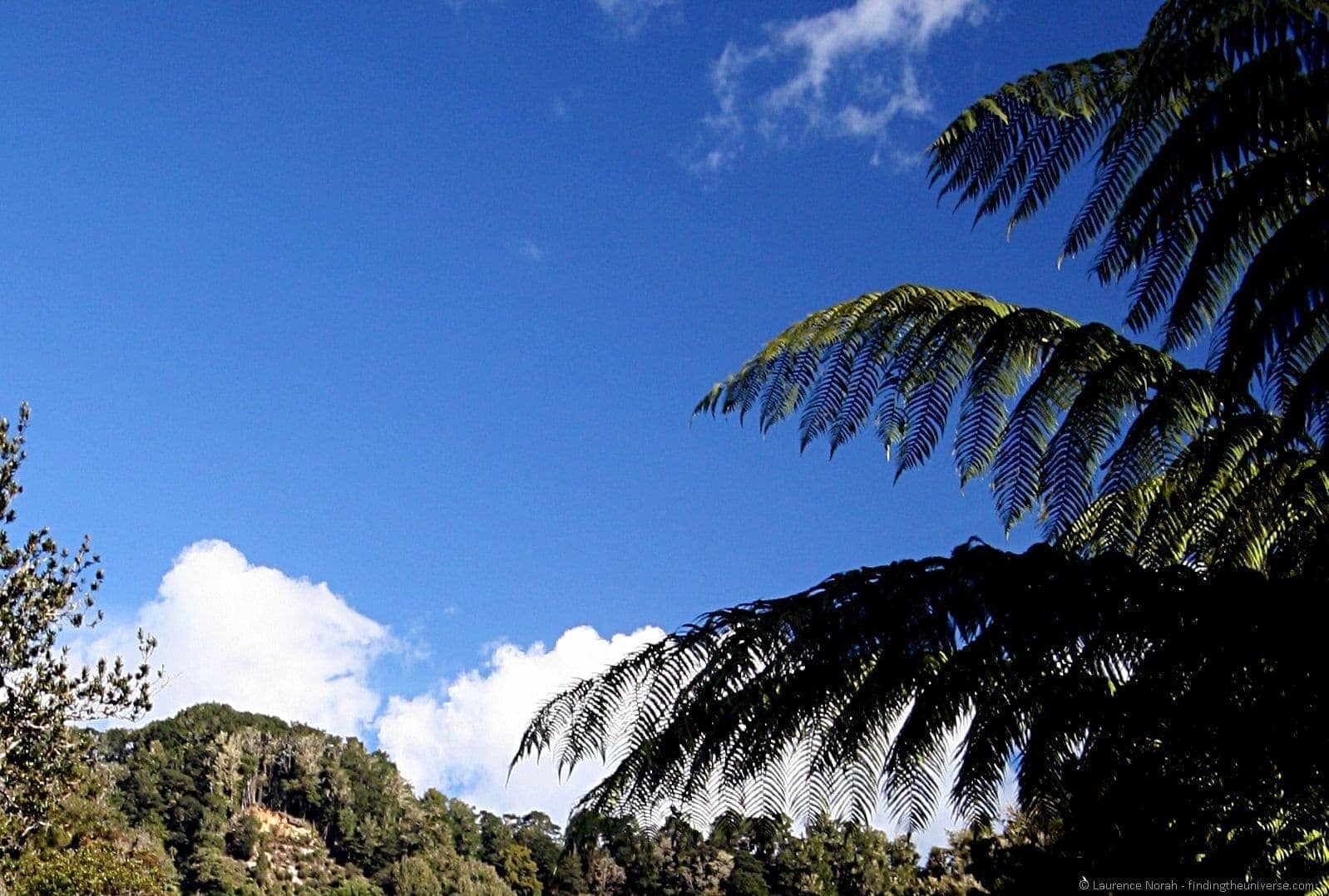
The first truly breathtaking part of the road was the drive through the Tangarakau Gorge, which wends its way through towering trees and awesome tree ferns, with steep rock faces rising up on either side. Many parts of the road have succumbed to rock falls – it was certainly nice not to be encountering many other vehicles on these sections as we wound our way round the boulders.
At the end of the gorge, in the direction we were travelling, was the resting point of Joshua Morgan, who died surveying the route at the end of the 19th century, aged 35. A pretty tough life it seems to have been back then.
Mount Damper Falls
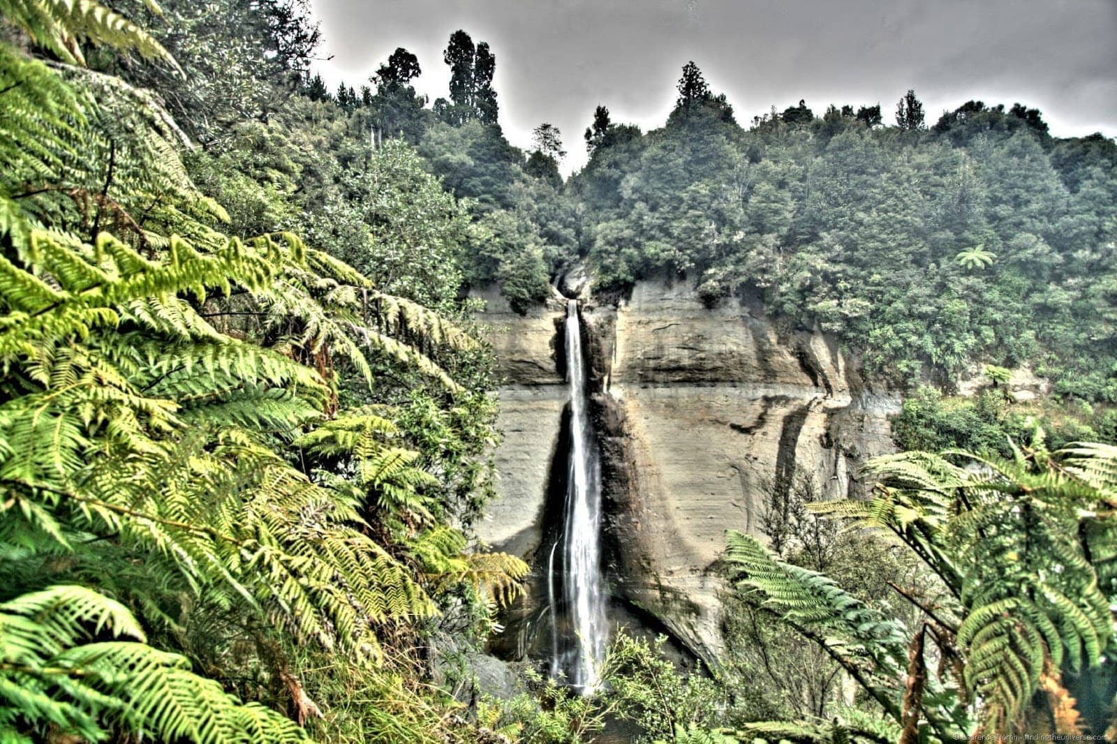
After the gorge is a turn off and short detour to the Mount Damper falls, the fourth highest falls on the north island which are just shy of 80 metres. These require a brief walk past bemused looking sheep and nimble goats, who nibble on grasses on what appear to be vertical cliff faces.
The falls cascade gently over a horseshoe shaped bluff, before wending their way into the forest. A track leads further – another seven hours – to another waterfall. We decided against that one.
The Hobbits Hole
Back on the highway, and the road, which is unsealed for a few kilometres at around this point, passes through the Moki tunnel, known locally as the Hobbits Hole, and marked as such on a hand carved wooden sign. Supported by wooden beams, and apparently full of giant fossilised crabs, this single lane tunnel is a treat to drive through.
Where to spend the night
We chose to spend the night on the track, staying at the Backcountry Campground, a campsite with a view like no other. On the top of the Tehora saddle, the country sweeps away from you to the east, right up to the mountains of the Tongariro National Park, 70km away.
We were the only people on the campground for the night, and as the night fell, the stars came out in a display that wasn’t sullied by any light pollution. Glorious stuff.
The Republic of Whangamomona
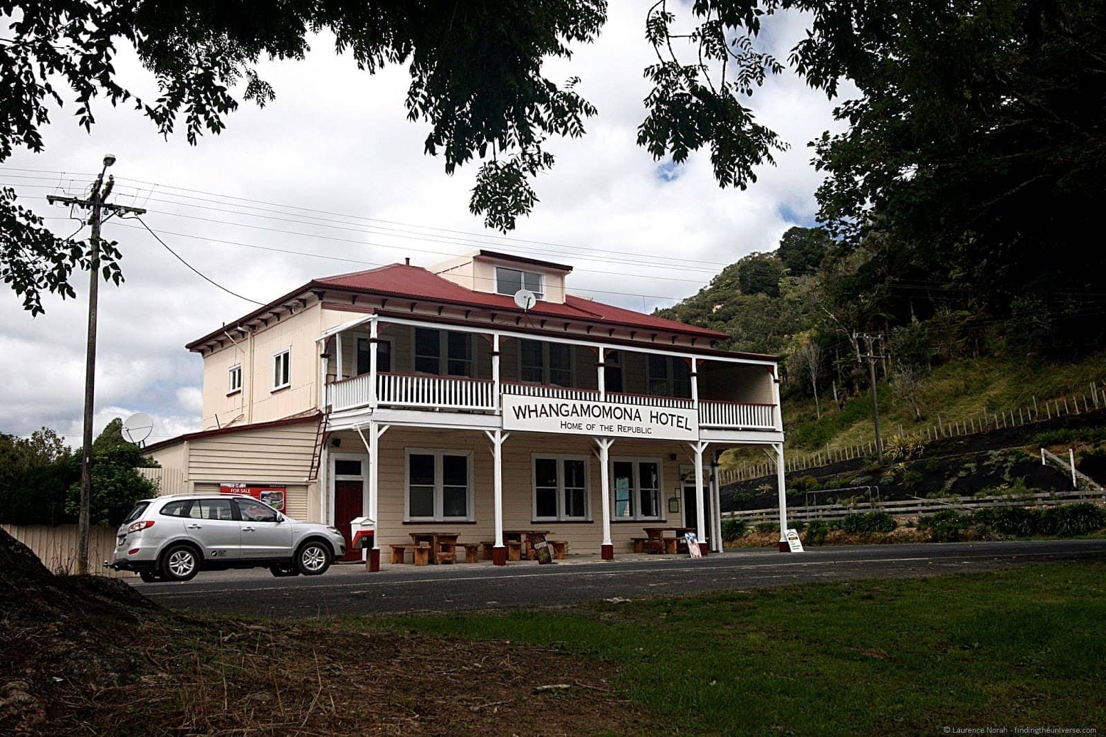
From the Tehora saddle, our next stopping point was the republic of Whangamomona, a tiny town which became aggrieved with the local councils in 1989, and declared itself independent. Along with the historic buildings that are slowly falling into ruin, the focal point of the visit is the towns pub, which as well as serving food and drink, administers the republic, including the issuing of passports and such like.
It also happens to be for sale at the moment, so if you have an urge to run a pub and rule a republic, now might be the time. Be warned though, previous presidents have included a poodle and a goat, so competition is tough.
Finding Stratford
Leaving the republic of Whangamomona behind, we re-entered New Zealand, and drove the remainder of the way to Stratford. Despite being about as far from Shakespeare’s actual birthplace as it is possible to get without leaving the earth’s atmosphere, this town was naturally named in memory of the bard himself.
Taking things a little further in Shakespeare adoration than the original town though, every street in Stratford is named after a character in Shakespeare’s plays. Which brought back some rather disturbing memories from school days.
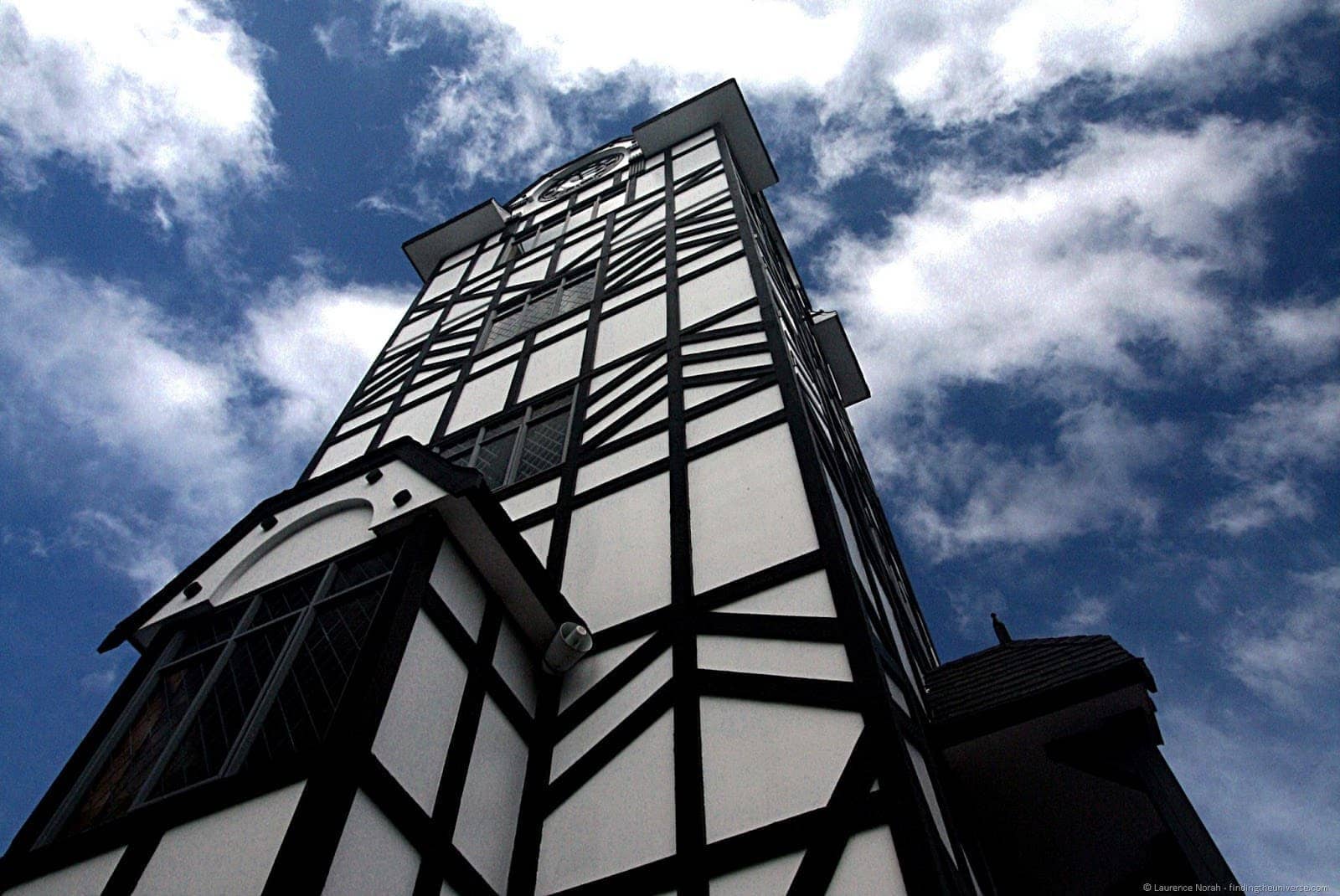
As well as the streets and the name, Stratford’s other Shakespeare reference is its glockenspiel tower, a huge faux Tudor construction in the centre of the town, out of which pop wooden figurines three times a day who re-enact key moments from Romeo and Juliet. Sure it’s a bit tacky, but it’s a bit different too.
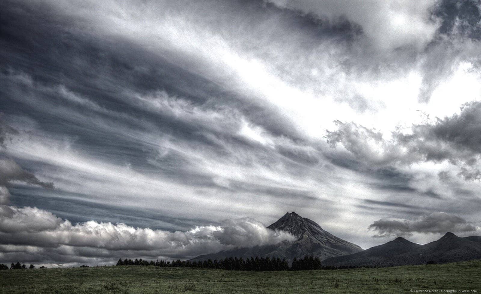
Over the Stratford area presides the beautiful Mount Taranaki, rising out of the surrounding flat landscape like a mountain rising out of a flat landscape. On maps it looks like the iris of an eye, with the access roads leading in like bloodshot veins. This is the second highest mountain on New Zealand’s north island, and climbing it will be the subject of my next post. Where I will also amuse you with a video of me falling down a scree slope. Until then…
David Morris says
Hi Guys
Loved your piece on The Forgotten Highway, but a minor correction. When I was researching an article on the highway I
nearly fell into the trap of describing it as the second highest in the North Island. A bit of research showed, however, that it ranks fourth behind the Wairere Falls (153m), Ananui Falls (106m) and Waitakere Falls (95m).
The source of the information is the gazetteer maintained by Land Information New Zealand which lists 249 named waterfalls in New Zealand.
David Morris
roadtripdreamer.com
All the North Island falls are, or course, dwarfed by the big drops in Fiordland National Park the highest of which are the little known Terror Falls at 740m – that’s nearly three-quarters of a kilometre.
Laurence Norah says
Hi David,
Thanks so much for your input! I have updated this post 🙂 I hope you enjoy your journey on the highway!
Laurence